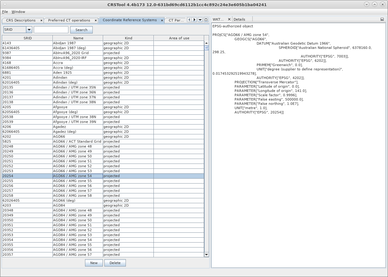
A new module in the CLUE family has been created for the PetroVision Data Bank - CRSTool. It is aimed for identification and creation of coordinate systems, as well as interaction with them within the mapping components of the Data Bank.
Currently, the module supports generally accepted solutions for the Oracle and PostgreSQL databases:
- Oracle Spatial - additional component of Oracle Database. The spatial functions in Oracle Spatial help the users to control geographical and positioning data with potential support of a wide range of tasks;
- EPSG - public register of geodetic data, spatial reference systems, Earth’s ellipsoids, conversions of coordinates and their related measurement units, developed by the member of the European Petroleum Survey Group (EPSG) in 1985.

Within the PetroVision Data Bank the module implements the correspondence of the surface geometry and the software of quality control, view, editing, and uploading the material - WellQC and SeismicLoader .
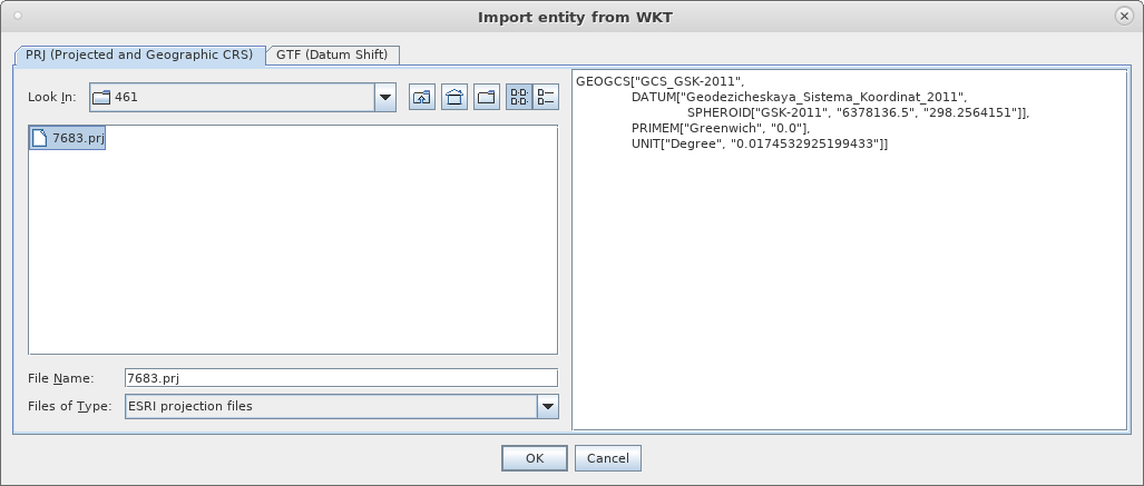
The application supports the file formats .prj and .gtf.

With the module it is possible to create new coordinate systems either based on the existing ones, or by means of uploading them from scratch. This way the user is able to set the required coordinate system independently, providing a sufficient degree of privacy, storing the data.


